Plateau between two river edges
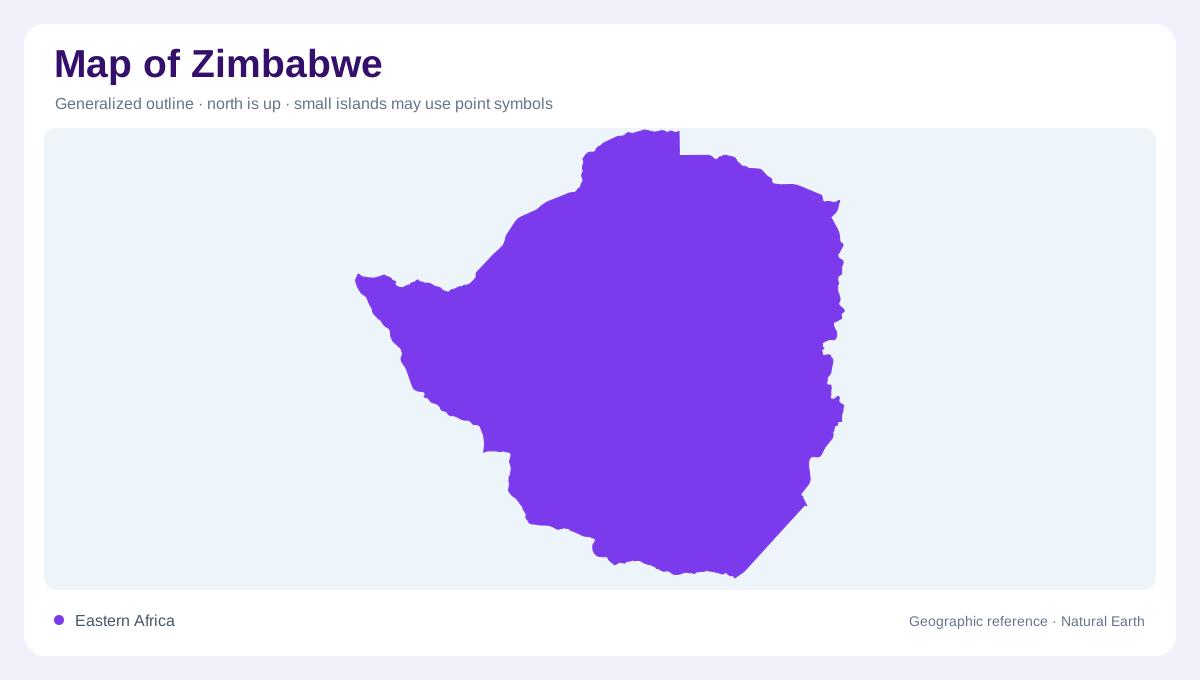
Zimbabwe's map is organized by a central plateau framed by major river systems. The Zambezi runs along the northern edge past Victoria Falls toward Lake Kariba, while the Limpopo marks much of the southern relationship with South Africa. Harare lies in the northeast-central highland zone, Bulawayo farther southwest, and Mutare near the eastern mountains. Reading those cities together shows a country whose settlement pattern follows upland routes as much as border rivers.
Zambezi, Kariba and the northwest
The northwestern map is dominated by the Zambezi valley, Lake Kariba and Victoria Falls. FAO's detailed map labels the falls, Lake Kariba and several tributaries feeding or approaching the northern drainage, including Gwayi, Sanyati, Sengwa, Hunyani and Mazowe. Kariba is both a reservoir and a boundary feature, so it should be read as part of a regional water system shared with Zambia. This northern edge contrasts sharply with the drier southwest and interior plateaus.
Eastern Highlands and Save drainage
Eastern Zimbabwe is marked by the Eastern Highlands and Mount Nyangani, both shown on FAO's map. Mutare, Nyanga and nearby rivers such as Pungwe, Odzi, Rusape and Gairezi sit in this more dissected mountain-side geography. Southward, the Save and Runde systems drain toward Mozambique, supported by tributaries and reservoirs including Tokwe-Mukosi and Mutirikwe farther inland. A map that treats Zimbabwe as flat misses this eastward change in relief, rainfall and drainage density.
Southern and western dry-country clues
The south and west show another pattern. The Limpopo, Shashe, Nata, Bubi, Shangani and Mzingwane names point toward drier basins and cross-border drainage with Botswana, South Africa and Mozambique. Gwanda, Lupane and Bulawayo help orient this side of the country. FAO water accounting records limited internal renewable water compared with wetter regional countries and notes outflows toward Mozambique and Botswana. On the ground, reservoirs and seasonal rivers are therefore major map-reading features.
Reading cities through terrain
Zimbabwe's main labels make most sense when tied to relief. Harare sits near the northeastern highveld and headwater country; Bulawayo anchors the southwest; Masvingo lies near Mutirikwe and the route toward the southeast; Mutare marks the eastern mountain gateway; and Chinhoyi, Bindura, Marondera and Gweru fill the central plateau network. The map is not defined only by borders. Its logic comes from plateau elevation, river edges, dammed lakes, mountain corridors and drainage routes leading out of the country. The administrative provinces reinforce these physical zones. Matabeleland North and South occupy much of the western and southwestern map, Masvingo sits toward the southeast, Manicaland follows the eastern mountains, and the Mashonaland provinces spread across northern highveld country. Reservoir labels such as Chivero, Manyame, Mazvikadei, Mutirikwe and Tokwe-Mukosi are not minor details; they show how water storage punctuates plateau drainage. Reading Zimbabwe through those named waters and uplands gives a more accurate picture than treating it as an evenly dry inland rectangle. This approach also keeps Victoria Falls in proper proportion. The falls are internationally famous, but they occupy one northwestern edge of a broader plateau-and-basin country. Harare, Bulawayo, Mutare, Masvingo and the reservoir network each reveal different parts of Zimbabwe's spatial organization, rather than leaving the west and southeast visually blank.